|
| *****SWAAG_ID***** | 331 |
| Date Entered | 13/11/2011 |
| Updated on | 15/11/2011 |
| Recorded by | Tim Laurie |
| Category | Tree Site Record |
| Record Type | Botanical HER |
| Site Access | Private |
| Record Date | 17/07/2011 |
| Location | Whitsundale. Lamb Paddock Scar Upper Section. |
| Civil Parish | Muker |
| Brit. National Grid | NY 8692 0182 |
| Altitude | 400m |
| Geology | Sandstones and chert strata above the Main Limestone. |
| Record Name | MUK116 Whitsundale. Lamb Paddock Scar. Aspen and juniper. |
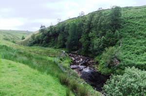
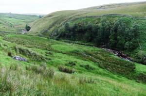
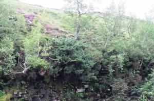
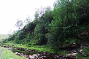
| Record Description | North bank scar downstream of abutments to ancient packhorse bridge at NY86880181. Well vegetated with aspen clones and several large junipers on south west facing cliff. Downy birch, sallows and rowan the only other trees.
Plant list not yet available.
Private wood but visible from Public Footpath and from Access Land. |
| Dimensions | See photos |
| Geographical area | Upper Swaledale |
| Species | Aspen and juniper |
| Additional Notes | This is the lowest of the sandstone scars on Whitsundale Beck with aspen and juniper.
Juniper does not grow further downstream on Cotterby Scar. |
| Image 1 ID | 1255 Click image to enlarge |
| Image 1 Description | |  |
| Image 2 ID | 1256 Click image to enlarge |
| Image 2 Description | |  |
| Image 3 ID | 1257 Click image to enlarge |
| Image 3 Description | |  |
| Image 4 ID | 1258 Click image to enlarge |
| Image 4 Description | |  |


